Big Thicket Association
Facebook BTA  BTAFacebook N.R. Adventures  N.R.AdventuresFacebook N.R. Rally  N.R. Rally
Thicket of Diversity
SupportCharterScienceField Research StationResourcesContact

Maps

SPECIES MAPS

Comparison Maps by Year - Species GPS waypoints compared over time (Macro Fungi (Mushrooms) GPS Locations
  • Beaumont Unit 2006-2010
  • Beech Creek Unit 2006-2010
  • Canyonlands Unit 2006-2010
  • Jack Gore Bayball Unit 2006-2010
  • Lance Rosier Unit West 2006-2010
Species Maps - GPS locations reported by ATBI Principle Investigators
  • New to Species Maps
  • Species New To Science, US, State, Preserve
Arc GIS Maps
  • Amphibians
  • Bryophytes (Moss)
  • Gyrinidae (Whirligig Beetles)
  • Ichthyofauna (Freshwater Fish)
  • Lepidoptera (Butterflies & Moths)
  • Lichens
  • Mordellidae (Tumbling Flower Beetles)
  • Myxomycetes (Slime Molds)
  • Reptiles
  • Vascular Plants

Big Thicket Area Maps

  • Big Thicket National Preserve Map
  • Roy E. Larson Sandy Lands Map
  • NPS Beaumont Unit Map
  • NPS Canyonland Unit Map
  • Lance Rozier Unit Waypoints Map

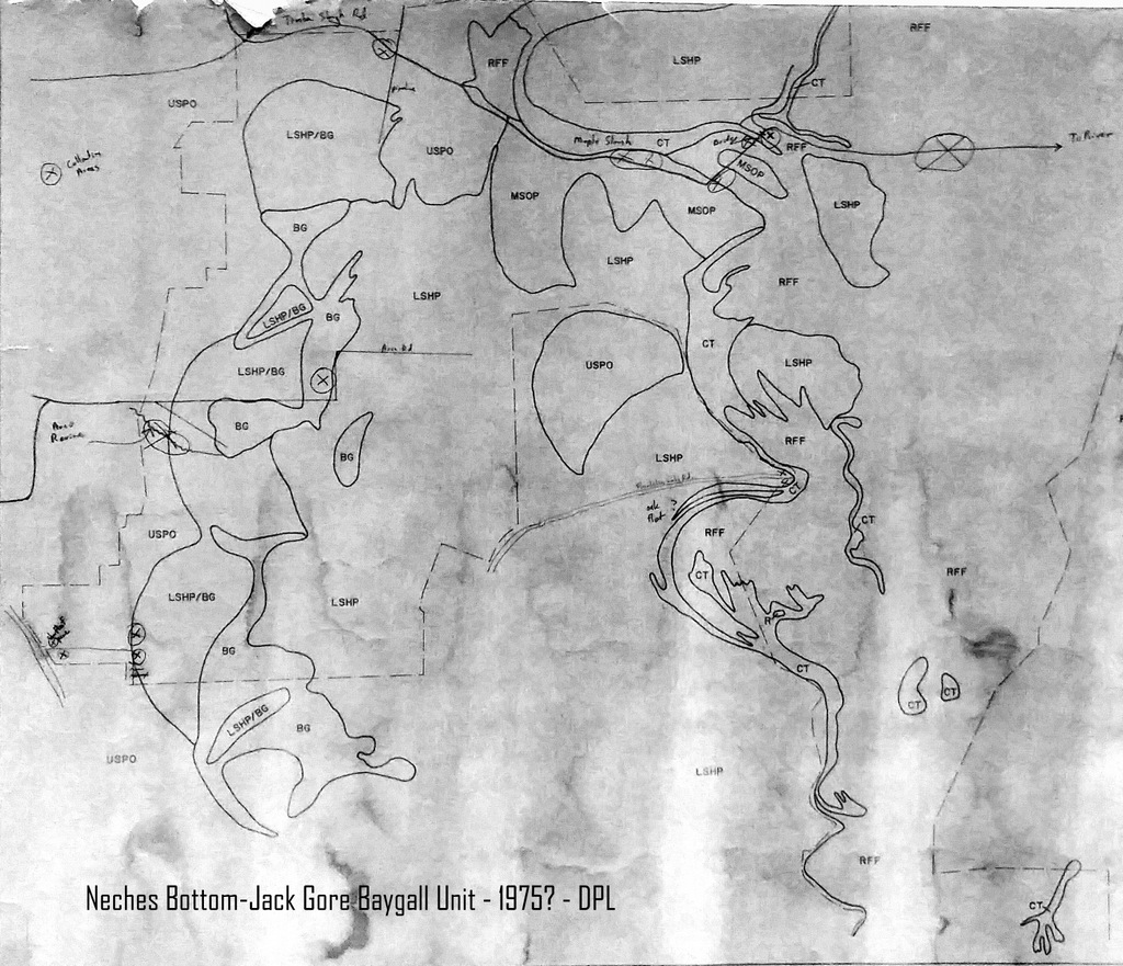
Big Thicket Historical Maps

1970s

  • Beech Creek Unit Potential Vegetation Map - 1975 - Contributed by David P. Lewis
  • Hickory Creek Unit Potential Vegetation Map - 1978 - Contributed by David P. Lewis
  • Neches Bottom-Jack Gore Baygall Unit Potential Vegetation Map - Contributed by David P. Lewis
Thicket of Diversity
  • Home
  • Support
  • Charter
  • Science
  • Field Research Station
  • Resources
  • Contact
  • Privacy Policy
Big Thicket Association Home